Denver, Colorado - TOD Station Area Plans (Six Stations)
/The City and County of Denver retained Crandall Arambula to engage the community in a land-use planning process that achieved broad consensus and public support. The goal of the planning process was to expand station area visions and development frameworks that will guide future development within a half mile surrounding the transit station. Station areas along the Central, Southwest, and West Corridors included: 10th & Osage, Decatur, Auraria West Campus, Alameda, Colorado, and Southmoor.
Each station area had unique physical, economic, and social conditions that required a deft design and political approach to meet TOD objectives. Therefore, public involvement planning for all light rail stations occurred simultaneously and workshops were held for all stations during each project phase.
Through the process, we found that:
The stations had interrelated issues
Stakeholders were often interested in multiple station area plans
Individual station land uses and circulation frameworks complemented one another and supported a larger cohesive system
Developing plans concurrently for all three stations led to savings in cost for the City and time for the project team, stakeholders, and the general public
Station Area Plans provide for:
Enhanced transit ridership
Maximized short- and long-term development site opportunities
A broad mix of residential, employment, and retail uses
Maximized pedestrian and bicycle access between land uses and the transit station
A comfortable, attractive, and vibrant public realm
Identified public projects that could be implemented immediately
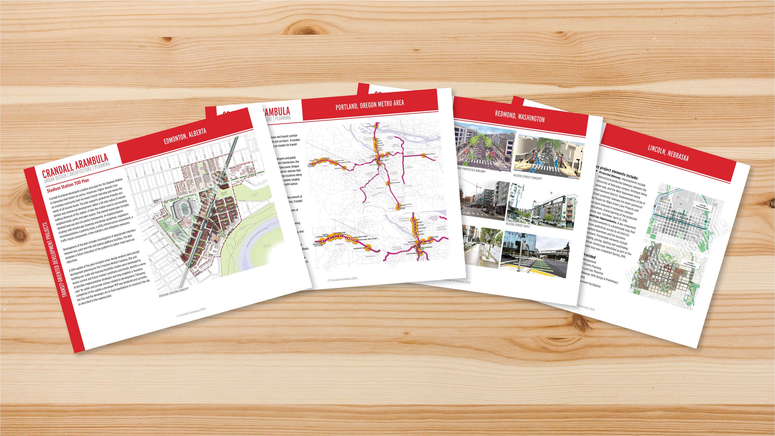
OTHER TRANSIT-ORIENTED DEVELOPMENT PROJECTS